WELCOME TO KNOXVILLE |
NORTH GREENWAYS |
|||
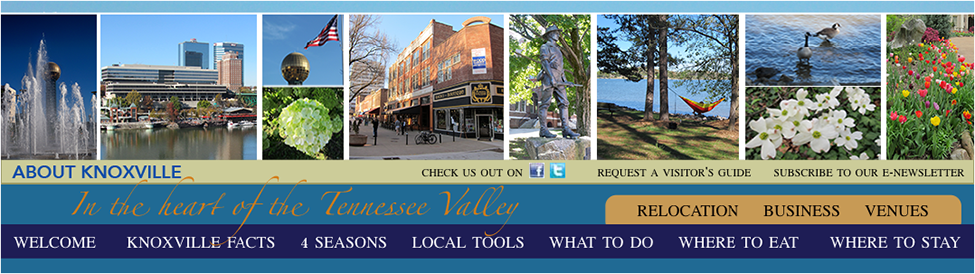
About Knoxville Melting Pot
|
North Knoxville has 15 miles of paved greenways which often follow natural land or water features. They link nature preserves, parks' cultural features, and historic sites with each other and with population areas. Greenways link neighborhoods to these facilities and to other neighborhoods.
Adair/Sue Clancy Greenway 1807 Adair Dr., Knoxville, TN Map & Directions This 1.1 mile asphalt greenway is a series of loops within Adair Park. The main loop is .08 miles. It is used for walking, running, bicycling, walking leashed dogs, skating, pushing strollers, using wheelchairs, and roller blading. There is a playground, a gazebo, and a duck pond along the peaceful greenway. Adair Park features plant materials that are reminiscent of the former City Nursery. Another extension of the greenway is a short 0.56 mile that is accessible by crossing Adair Drive from the greenway in Adair Park. There are 2 wooden bridges over Adair Creek, restrooms, and parking (35 spaces off Adair Dr., 17 spaces off Jenkins Rd.) Beverly Loop 5311 Beverly Park Circle, Knoxville, TN Map & Directions This is a .6 mile paved trail. Parking is available at Beverly Park Par 3 Golf Course. First Creek Greenway (Upper) 1912 N Broadway, Knoxville, TN Map & Directions 401 East Glenwood Ave., Knoxville, TN Map & Directions 1701 N Sixth Ave., Knoxville, TN Map & Directions 1223 Pratt St., Knoxville, TN Map & Directions 1523 Grainger Ave., Knoxville, TN Map & Directions The asphalt greenway is 0.9 mile. The main loop is 0.23 mile. Greenways are used for walking, running, bicycling, walking leashed dogs, skating, pushing strollers, using wheelchairs, and roller blading. Parking is located in First Creek Park. First Creek Greenway is located between Glenwood Avenue and Broadway. The greenway is located parallel to First Creek in the 20-acre First Creek Park. The greenway has a small loop trail in the bend of the creek located in the middle of the park. There is a passive green space in the interior of the loop. First Creek Greenway (Lower) 1412 Woodbine Avenue, Knoxville, TN Map & Directions 611, 613 Winona Street, Knoxville, TN Map & Directions This asphalt 0.5 mile greenway, located in Caswell Park, is used for walking, running, bicycling, walking leashed dogs, skating, pushing strollers, using wheelchairs, and roller blading. There are restrooms and an accessible playground. There is parking for 70 vehicles, plus 8 accessible spaces at Ashley Nicole Dream Playground, 80 spaces and 5 accessible at ballfields off Winona, 165 spaces and 20 accessible at the YMCA, and at the John T. O'Connor Senior Center. Fountain City Greenway 117 Hotel Rd., Knoxville, TN Map & Directions This is a 0.3 miles asphalt greenway located at Fountain City Park. It provides a beautiful view of a natural spring, First Creek, and a display water fountain. The greenery is used for walking, running, walking leashed dogs, skating, pushing strollers, using wheelchairs, and roller blading. You will find restrooms, water fountains, and swings. There is parking at the rear of the park, street parking on N. Broadway, 14 plus street parking at Hotel Rd., gravel lot at Skate Park, and at the Fountain City Library. Halls Greenway 6983 Recreation Lane, Knoxville, TN Map & Directions This .6 mile greenway runs along Beaver Creek and connects Halls Community Park with the Halls Library on Emory Road. It crosses some unusual wetland areas with access to nature trails and an overlook. Southbound from the park, it continues .3 mile to Summer Oak Lane. Parking is available at Halls Community Park and at the trailhead at 4518 Emory Road. House Mountain Map & Directions House Mountain is a 500-acre natural area located in Knox County approximately 8 miles from Knoxville. The 2,100-foot crest of House Mountain provides beautiful vistas where visitors can see the Unakas and Cumberlands some 30 miles away, and to the northeast, Clinch Mountain and across the valley where the Trail of the Lonesome Pine may some day lead north into Virginia. House mountain has 4 miles of natural surface trails, from easy .03/mile loops to more demanding hikes that can total nearly 5 miles (with backtracking from the trail’s end.) The parking area also features a picnic shelter and restroom. From Knoxville, take I-40 East. Exit on U.S. Highway 11W (Rutledge Pike) and go north and east on Rutledge Pike. After about 10 miles, look for the “House Mountain State Park” sign on the right side of the highway and then turn left on Idumea Road. Turn left on Hogskin Road. The entrance is less than a mile on the right. Inskip Greenway and Trails 4204 Bruhin Road, Knoxville, TN Map & Directions This is a 0.2-mile paved asphalt greenway. There is also a 0.1-mile unpaved walking trail which winds through the woods of Inskip Park. The greenway is used for walking, running, bicycling, walking leashed dogs, skating, pushing strollers, using wheelchairs, and roller blading. Parking is available. Maple Drive Greenway 2540 Maple Dr., Knoxville, TN Map & Directions This is a 0.3-mile asphalt loop which is used for walking, running, bicycling, walking leashed dogs, skating, pushing strollers, using wheelchairs, and roller blading. It is located next to the Fountain City Skatepark and has parking. New Harvest Loop 4775 New Harvest Lane, Knoxville, TN Map & Directions This is .25 mile paved trail that encircles the park. Parking is available. North Hills Greenway 2419 Kennington Road, Knoxville, TN Map & Directions This is a 0.4-mile asphalt greenway used for walking, running, bicycling, walking leashed dogs, skating, pushing strollers, using wheelchairs, and roller blading. It connects to North Hills Park. Powell Greenway 2136 West Emory Road, Knoxville, TN Map & Directions This is a 1.7 mile trail connecting Powell High School with Powell Middle School by a paved pedestrian path. Parking is available at both schools. Sharp's Ridge Trails 329 Sharp's Ridge Memorial Drive, Knoxville, TN Map & Directions This 1.3 miles natural path greenway is used for walking, running, bicycling, walking leashed dogs. There is also an observation deck. Sharp's Ridge trails were built and are currently maintained by the Appalachian Mountain Bike Club. Though the trails were built by mountain bikers, they are appropriate for regular hiking. Sharp's Ridge has been noted as a premier bird viewing location. Sterchi Hills Greenway 6400 Fountain City Road, Knoxville, TN Map & Directions This greenway covers 2.2 miles and connects the Knox County/AYSO Soccer Complex to Tommy Schumpert Park and Sterchi Park, 1145 Dry Pike. Parking is available at both parks. Victor Ashe Greenway 4901 Bradshaw Road, Knoxville, TN Map & Directions 329 Sharp's Ridge Memorial Drive, Knoxville, TN Map & Directions Victor Ashe Greenway is 1.5 miles of unpaved trails. It is located within Victor Ashe Park and connects to the Northwest Greenway along Green Heron Creek, a tributary of Third Creek. This greenway is a favorite for dog owners and their leashed dogs, as it is adjacent to a public dog park, Dogwood Park. Victor Ashe Greenway also features a leg that connects the park to Pleasant Ridge Greenway along Pleasant Ridge Road. This greenway is a favorite destination for cross-country runners. |
|||